The Only Way is Down
22 Oct 2014
As we headed further south in to West Virginia, we all knew things were coming to an end for the East Coast Road Trip (#ECRT) and an epic summer of bike park fun and games. But, we were determined to go out with a bang, and Snowshoe Bike Park had all the makings of being the perfect place for this to happen! For the last time in 2014, we went through the logistical battle of packing up at one place, driving to the next, and unpacking bikes, kit, cameras, and all the rest of the crap necessary for a 2-month tour of the best mountain bike hotspots in the east.
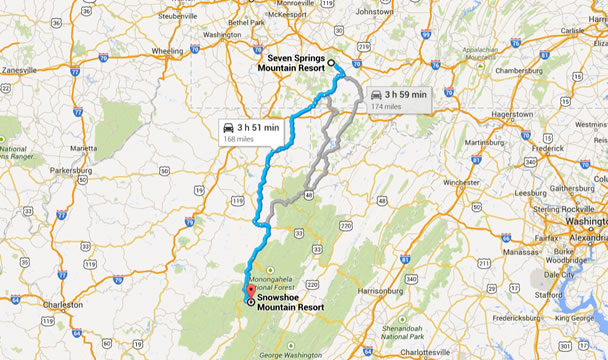
(The rout from 7Springs to Snowshoe)
It’s a fairly long drive to get to Snowshoe Bike Park no matter what direction you come at it from. It seems to be buried right in the middle of the Seneca State Forest, equally far from the nearest freeway in any given direction. So, you have to accept some significant driving on the slower winding roads. It would suck if you got stuck behind a huge camper with bikes on the front… As if signaling the end of the ECRT, we arrived in thick, dense fog with barely 50ft of visibility. We had to heavily relying on the Satnav to guide us in to Snowshoe. Which is why we were somewhat confused as the road started to climb significantly, just as we neared our destination. For those who have not actually been here before (like us), everything is at the top of the mountain – all the restaurants, hotels, shops etc. In reverse to most other locations, the resort sits at the peak of Snowshoe Mountain, and the trails drop down from there. So in the morning, we were able to ride straight off the top before having to take our first lift!

(Top of the lift)
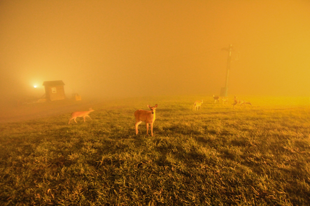
(Oh deer)
They get a lot of rain here, as a result of being based at the top of the mountain; you’re often shrouded in cloud or fog. It was a bit of a shame to rock up to our last stop with weather like that, but it was probably more comical than anything else. Stumbling around in the thick fog, trying blindly to locate our hotel, we had the good fortune to bump right in to the Bike Park Manager Josh Olson, who pointed us in the right direction. Josh is technically the Terrain Park Manager, so he doubles up in the winter. He also happens to be the founder of Trail Flow Concepts, the trail building team responsible for the Frisco Bike Park in Colorado. Looking for a new challenge, Josh and his girlfriend Meaghan O’Hara (a Financial Analyst for the resort) moved to West Virginia to quote “build fun for a living!”
(Josh Olson, bike park manager)
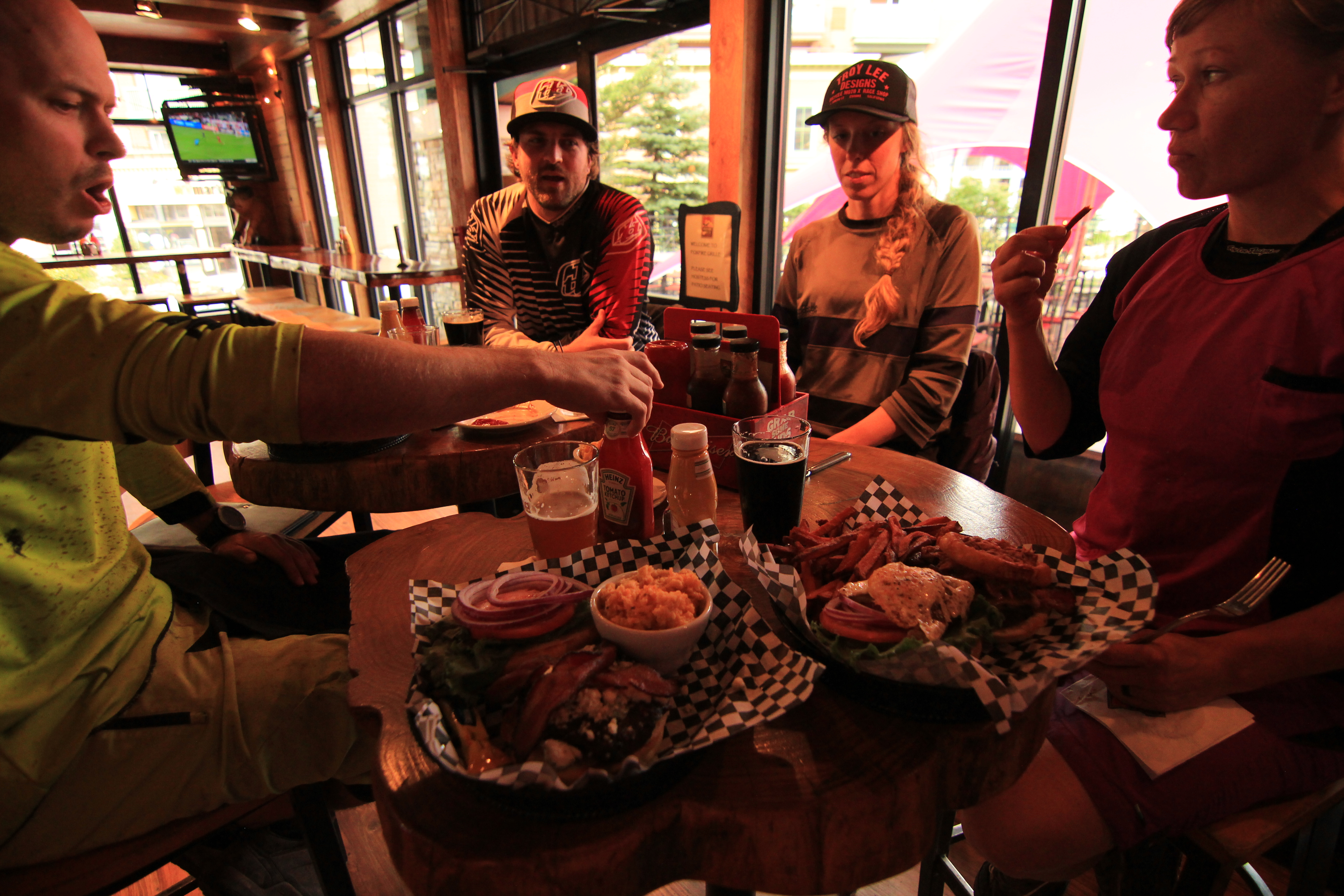
(Out to dinner with Josh and Meaghan after a long day on the trails)
Both sides of Snowshoe Mountain have lift-accessed trails. One side is the Basin Area, which drops down under the Ballhooter chairlift from right outside the main bike and rental shop in the village. The other side is called the Western Territory, a short pedal around the edge of the village to the top of the Western Express chairlift. It’s the western territory that generally has the more challenging terrain, and its certainly got the bigger altitude drop at 1,460 ft., compared to the 680 ft. of descent in the Basin Area. Given the starting point, you’re more likely to head off down the Basin to begin your day, and this has more of a focal point feel about it serving as the hub of the bike park. It also has the only green grade trail at Snowshoe, so it’s where all beginners will need to start their day.
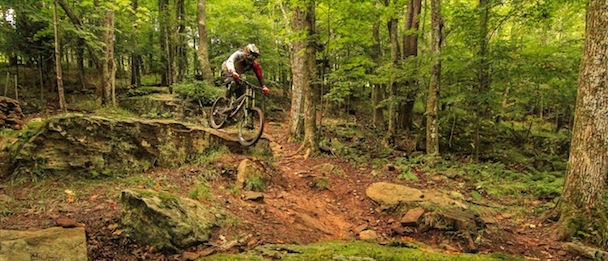
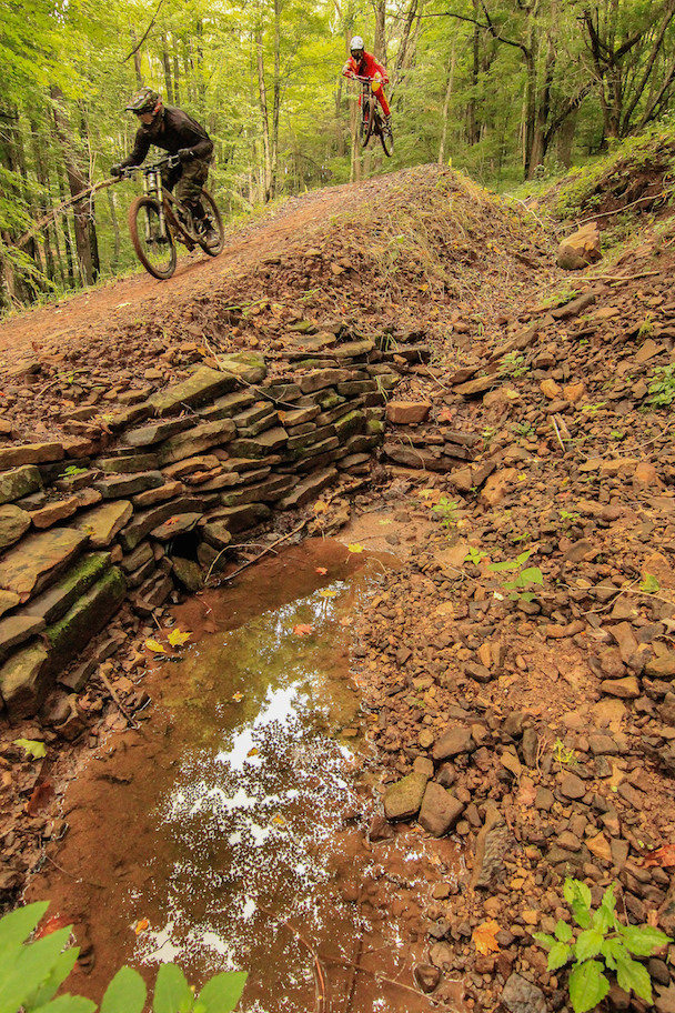
(Pro-DH trail)
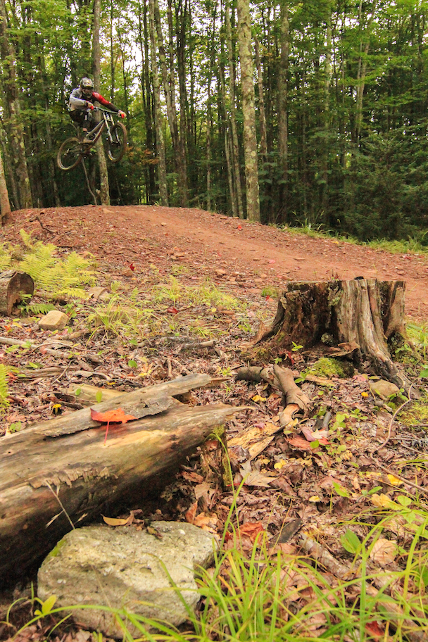
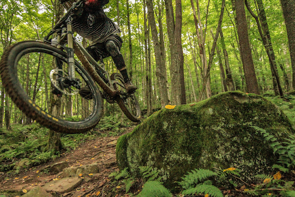
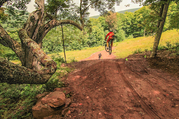
Moving on to the trails, which are cracking, and fully justify the drive from whatever direction you come from! The original build was actually the work of Brad Stone at 402Trails in partnership with those Whistler Gravity Logic guys again, and since then, the Snowshoe trail-crew have taken things completely in-house. Their signature trail has to be the Skyline Trail. It has nearly 4km of machine-built jumps and berms that will prompt uncontrollable “whoop-whoops” as it just goes on, and on, and on… However, it’s not the only flow trail on the Western Territory side. Ball-N-Jack and Powerline are other options, which also give you the chance to mix in technical sections and other tech-gnar trails (Missing Link and Sweet Dream) on the same lap. This was one of our favorite routes down the mountain. There are also a number of more difficult tech trails here too, and one of the classic race runs – the PRO DH trail, is a great combination of rocks, roots, and some big hits along the way. More advanced riders will most likely spend the day lapping this side of the mountain.
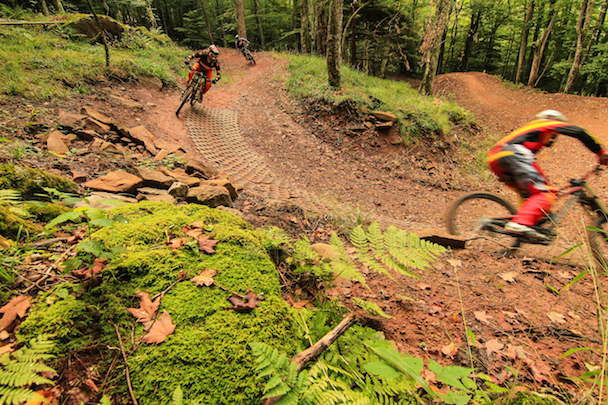
(Skyline trail, riders from front to back Heath Boedeker, Rae Gandolf and Meaghan O'Hara)
(Heath hitting the step down)
As for the Basin Area, Easy Street is the aforementioned green trail that’s an awesome place to start as a new rider. Easy Street is super smooth and flows down the mountain at a gentle gradient. It goes on for a good couple of miles giving plenty of time to start to feel comfortable on a bike. There are difficult technical black trails on this side, but they are (in general) shorter in length, coming off the forest road and rejoining it again lower down. However, recently built and not fully open at the time of our visit, the new Dreamweaver trail is a blue-grade machine built trail. Running from the top of the lift to the bottom, Dreamweaver is designed as a suitable step up from the green Easy Rider trail, and it provides a natural progression before hitting the more advanced Skyline trail. It fills the gap very nicely indeed!
(One of many jumps on Skyline)
(Art)
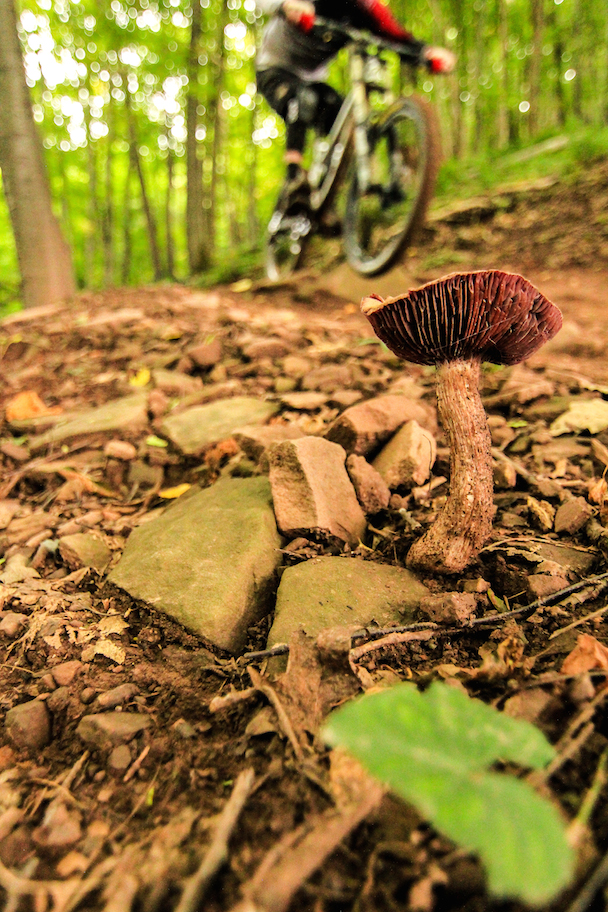
We spent the day riding and filming with Josh and Meaghan, and were also joined by Rae Gandolf and Heath Boedeker, an Ohio couple down for some pre-race training for Rae – who was due to compete in an event the following weekend. The weather typically gave us the run-around again, and it was pretty wet on the trails at times. However, the drainage was excellent, and the trails were practically dry not long after the rainfall. Just check out the video for yourself at the end of this week!

Comments